Nachtvlinder schreef :
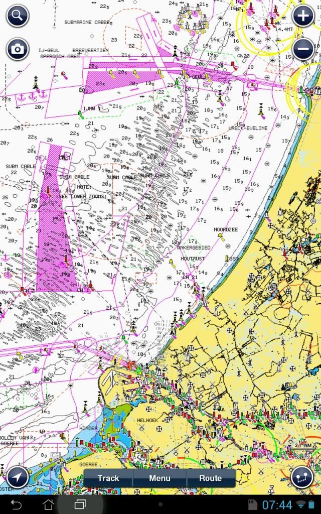
Navionics Web-app is ook bijgewerkt (ook de nieuwe situatie in het Molengat bij Texel).
Heb ze een mail gestuurd met de vraag of en hoe het te zien is van wanneer de laatste updates dateren. Ik vind dat een serieus navigatieprog (Navionics app vind ik dat o.a. om deze reden niet) deze info moet geven. Ben benieuwd, maar kan heel goed zijn dat ze de apps als spielerei beschouwen, bij de "echte" kaarten op SD is dat veel beter geregeld (abonnement "Freshest data", betaald per jaar)...
En zowaar een soort van antwoord, maar dan weer niet op mijn algemeen bedoelde vraag. Zal wel aan mijn Italiaans liggen
")
Dear Mr xxx,
Thank you for contacting us.
Please, be aware that the each portion of map has its own update, so we would need to have the precise coordinates of a specific area, to inform you about the precise date of that particolar map, we perform more than 1000 updates every day.
We are going to add an option to update your maps downloaded from our App but now it is not available yet, it will be probably included in the near future but currently we can not guarantee any precise date when this may occur.
Best Regards
Navionics Mobile Team
From: xxx [mailto:xxx]
Sent: mercoledì 7 agosto 2013 8.22
To: Navionics Mobile
Subject: Marine Europe HD chart update information
Hello,
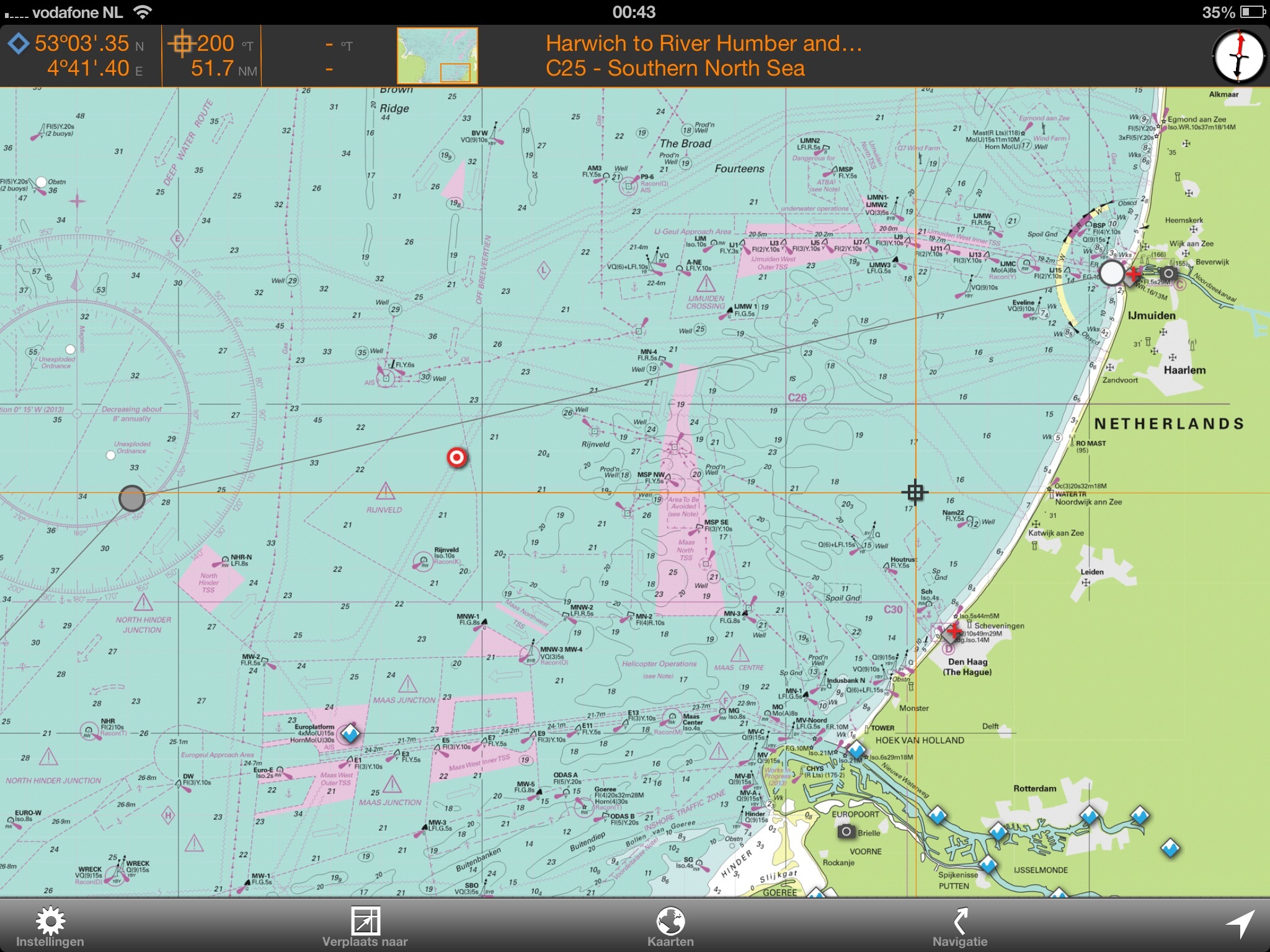
I've bought and used this Android tablet app for a while to my great satisfaction. I noticed the North Sea chart has recently been updated with the new TSS systems off-dutch coast which became effective from 1st August 2013. This is a fast update!
In general, I cannot find anywhere however from when the last chart updates have been originated.
Where can I find this information?
best regards, xxx